
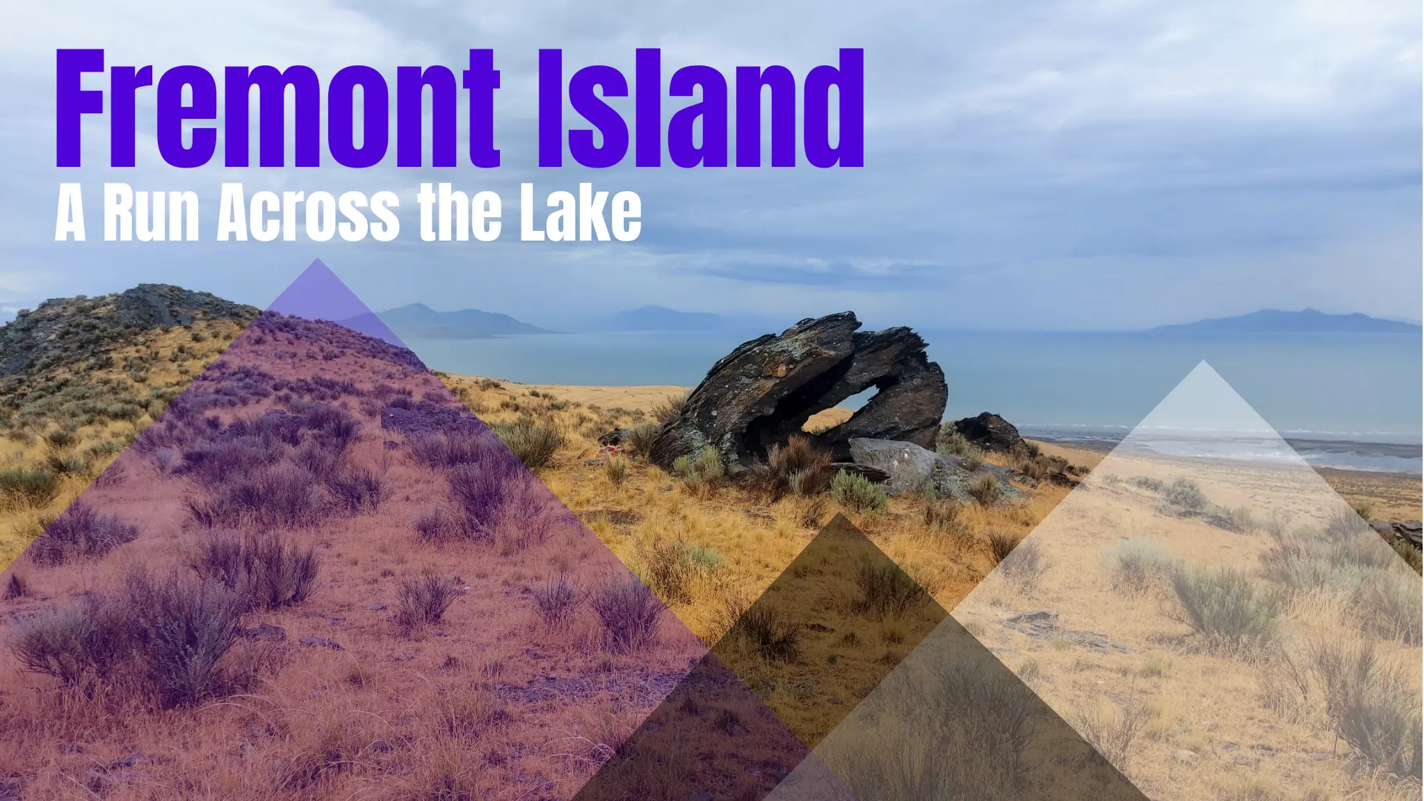
A bit of history
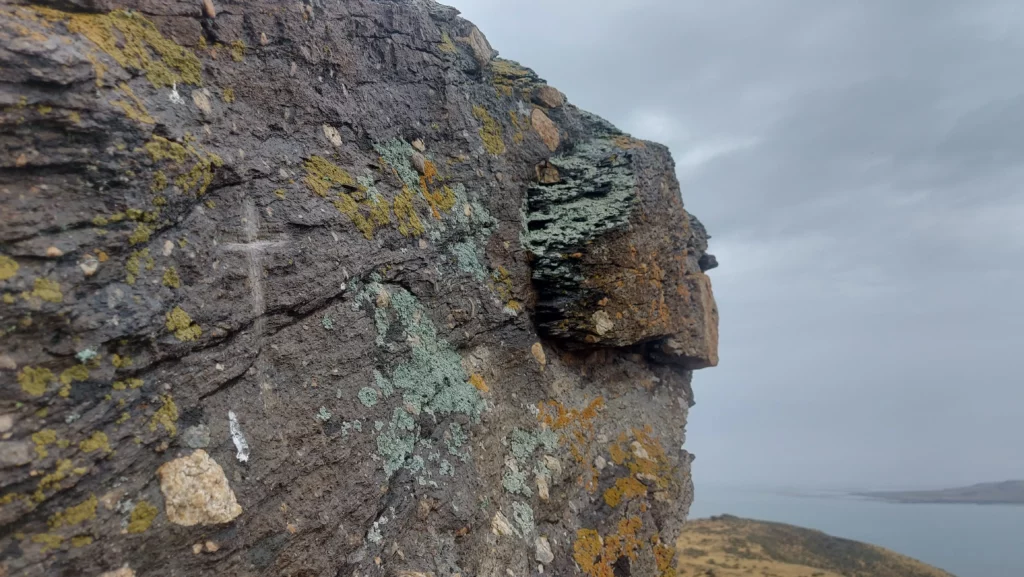
Despite being a relatively sparse wasteland, Fremont Island has a decently interesting history. Located 6 miles northwest from the far more popular Antelope Island, Fremont Island is a standing record of the island’s few visitors through the centuries. Hundreds of years ago, Native Americans used the island for different plants and resources. They left behind a few artifacts including some petroglyphs. In the preceding two centuries, white explorers and settlers have added their mark on the island. Explorers John C. Fremont and Kit Carson visited the island in 1843 and Kit Carson etched a cross into a rock that is still visible today.
After the pioneers arrived in the Utah area, the island was used for various purposes including mining, sheep herding, and once Brigham Young even exiled a grave robber to the island for his crimes. The only known long term residents of the island have been the Wenner family who owned the island from 1886 to 1960. Uriah Wenner, a Salt Lake County judge, bought the island from the Union Pacific in hopes that the salty air would help him handle his tuberculosis. (History of the Wenner Family)
Today the island is owned by the State of Utah and is publicly accessible by foot or biking. Motorized vehicles are not allowed and camping is also prohibited in order to preserve the island.
Getting to the island
I made my journey to the island mid-August 2023. That day, there were heavy rainstorms sweeping across the lake. As I drove across the causeway, rain pounded my vehicle and I started to wonder if I would be able to make the run. Visibility was low and I could not see the island, just a wall of white to the north. I parked at the U.S. Army Ranger and Air Force Memorial and ran two miles back on the causeway.
I hopped off the causeway and started running on the sandbar which was starting to fill up with water. Every step I sank into the increasingly muddy mess. The mud suctioned around my feet making it good work to pull them back up with every pace. The smell of the Great Salt Lake resembles rotten eggs and the mud seemed then to be the very essence of it mixed with slimy somethings and decaying organic matter. Large swaths of gnats huddled on the sand, grounded by the weather.
Had I not had a GPS device I would not have been able to discern the correct way to go because of the heavy rain. The island was definitely farther West than I had been thinking, but checking in every now and then with the GPS allowed me to keep heading the correct way. Usually, the island is easily visible so this is not a typical problem when making the trek.
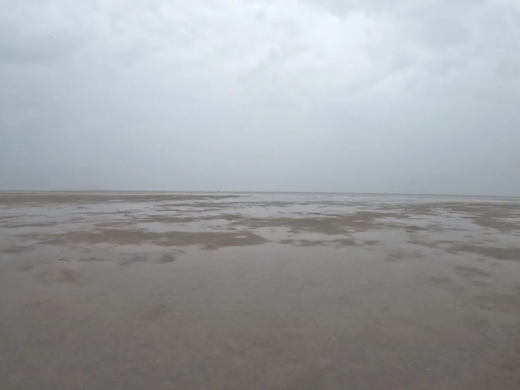
The obscured and uniform view in all directions was actually kind of a pleasant environment to run in. After an hour of steady plodding through the mud, the intensity of the rain started to abate and visibility started to increase.
Because of the previous lack of visibility and rising water, I did end up running slightly off where the sandbar is supposed to be and into deeper waters for a while. On a sunny day this would be easily avoidable. The last mile to the island was me splashing through the water and trying not to fall. Though at this point, I could not get any wetter.
I entered the island from the southeastern side where I was greeted by a trail camera monitoring the island’s visitors. There is a dirt road running along the edge that leads up to an old cabin structure built by Justin Barrow, a previous owner of the island who tried to make a private hunting business by bringing in exotic animals in the 2000’s.

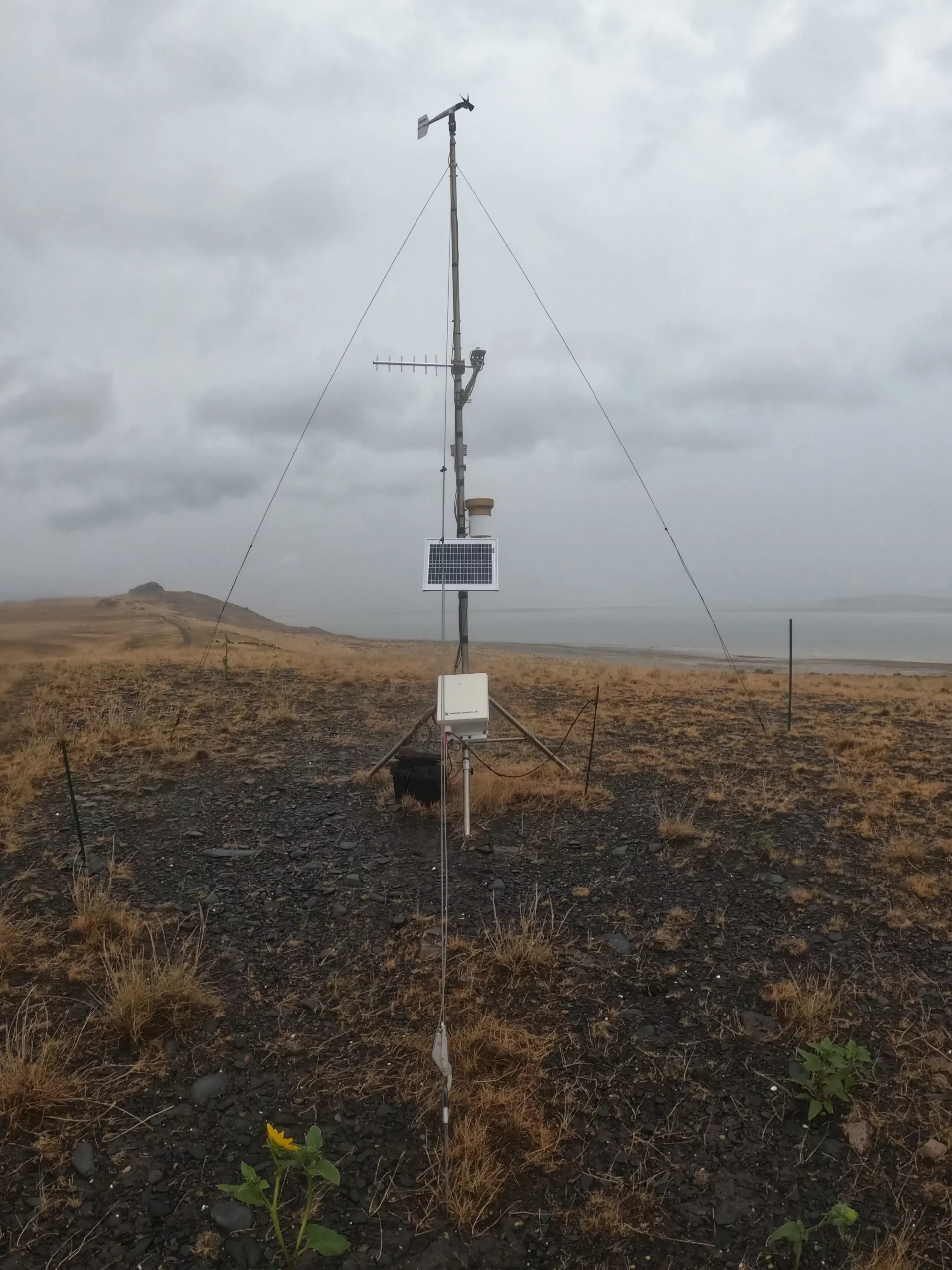
From the cabin, I ran up the road north to the top of David E. Miller hill where the University of Utah has a weather station. The next stretch from there is the island’s airstrip along the central ridge of the island.
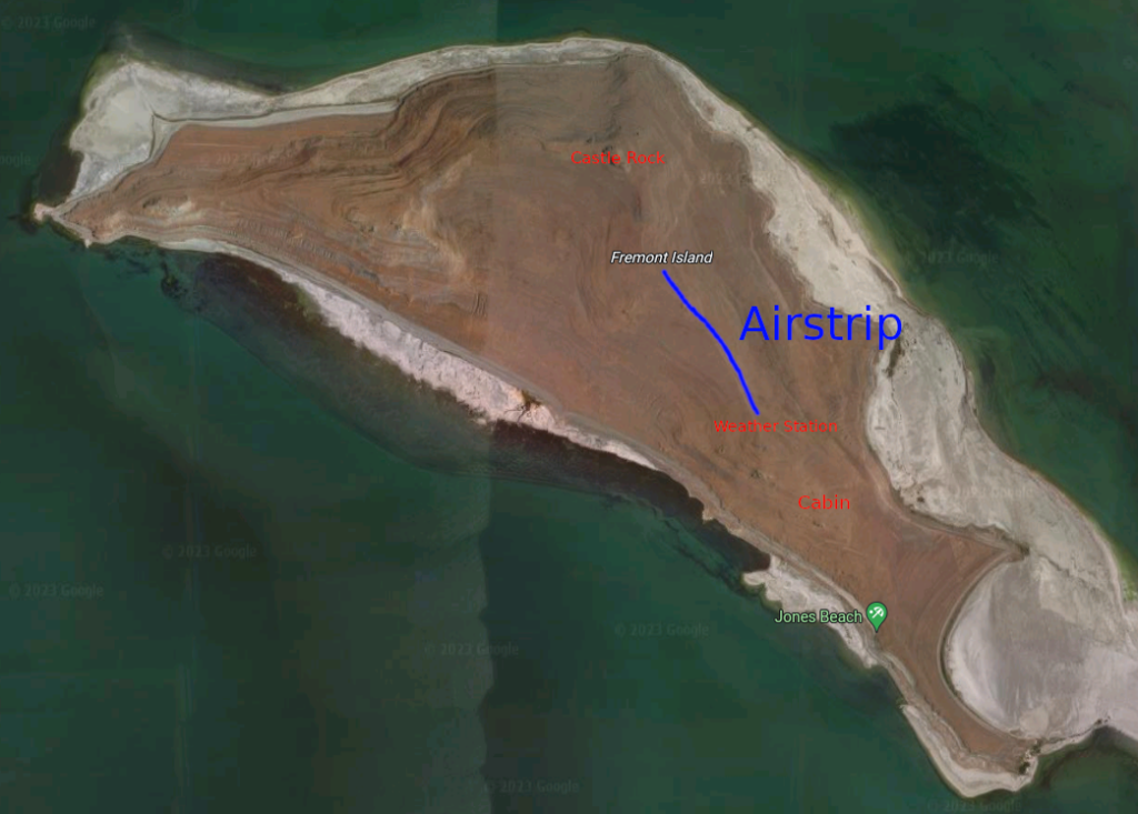

All in all, the total running distance from Antelope Island to Castle Rock was about 12 miles. The final climb up to Castle Rock is very steep and may involve some clambering on all fours depending on the side of the hill. I approached from the east side and left on the north side. In my estimation there is not a side of the hill that is any easier than the others to climb. All are pretty steep.
Castle Rock stands out well and Kit Carson’s cross is easy to locate on the east side of the rock. This marks the highest point of Fremont Island and provides a view of the surrounding lake and mountains.
During my stay on the island, the rain had stopped and the water levels on the sandbar had fallen. On my return across the sandbar, I had pretty good weather for about a mile. The bugs took advantage of this for a little bit and were quite a nuisance, apparently attracted to my head. Along the way back I noticed there seems to be these wooden posts driven in the ground at various intervals marking the way to the island. If there is any bad weather though, they are pretty much invisible.

Eventually the rain returned, although much lighter, but accompanied by very fierce winds. The last few miles getting off of the sand were very muddy and the unstable ground was starting to take a toll on my legs. All in all, the trip was a total 24 miles and well worth it. I will definitely return to the island, but probably in better weather. There is still more things to find and areas to explore.
Useful resources
Most comprehensive resource on the island:
Fremont Island Property Management Plan
How to get to the island:
GeoSights: Trek to Fremont Island (Disappointment Island)
A useful map with all of the various landmarks named
Island History:
Saline Stories: An Oral and Visual History of the Great Salt Lake